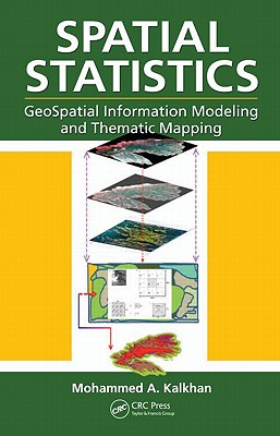
Geospatial information modeling and mapping have become important tools for the investigation and management of natural resources at the landscape scale. This book reviews the types and applications of geospatial information data, such as remote sensing, GIS, and GPS, as well as their integration into landscape-scale geospatial statistical models and maps. Readers will learn the requirements and limitations of each geospatial tool. Along with case studies and statistical data analysis methods, the text includes laboratory exercises using ArcInfo, ArcGIS, ArcView, ERDAS-IMAGINE, and other popular software for geospatial modeling.
Geospatial information modeling and mapping has become an important tool for the investigation and management of natural resources at the landscape scale. Spatial Statistics: GeoSpatial Information Modeling and Thematic Mapping reviews the types and applications of geospatial information data, such as remote sensing, geographic information systems (GIS), and GPS as well as their integration into landscape-scale geospatial statistical models and maps.
The book explores how to extract information from remotely sensed imagery, GIS, and GPS, and how to combine this with field data—vegetation, soil, and environmental—to produce a spatial model that can be reconstructed and displayed using GIS software. Readers learn the requirements and limitations of each geospatial modeling and mapping tool. Case studies with real-life examples illustrate important applications of the models.
Topics covered in this book include:
- An overview of the geospatial information sciences and technology and spatial statistics
- Sampling methods and applications, including probability sampling and nonrandom sampling, and issues to consider in sampling and plot design
- Fine and coarse scale variability
- Spatial sampling schemes and spatial pattern
- Linear and spatial correlation statistics, including Moran’s I, Geary’s C, cross-correlation statistics, and inverse distance weighting
- Geospatial statistics analysis using stepwise regression, ordinary least squares (OLS), variogram, kriging, spatial auto-regression, binary classification trees, cokriging, and geospatial models for presence and absence data
- How to use R statistical software to work on statistical analyses and case studies, and to develop a geospatial statistical model
The book includes practical examples and laboratory exercises using ArcInfo, ArcView, ArcGIS, and other popular software for geospatial modeling. It is accessible to readers from various fields, without requiring advanced knowledge of geospatial information sciences or quantitative methods.
Get Spatial Statistics by at the best price and quality guranteed only at Werezi Africa largest book ecommerce store. The book was published by Taylor & Francis Inc and it has pages. Enjoy Shopping Best Offers & Deals on books Online from Werezi - Receive at your doorstep - Fast Delivery - Secure mode of Payment
 Jacket, Women
 Woolend Jacket
 Western denim
 Mini Dresss
 Jacket, Women
 Woolend Jacket
 Western denim
 Mini Dresss
 Jacket, Women
 Woolend Jacket
 Western denim
 Mini Dresss
 Jacket, Women
 Woolend Jacket
 Western denim
 Mini Dresss
 Jacket, Women
 Woolend Jacket
 Western denim
 Mini Dresss


