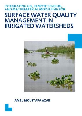
This research study focuses on the development of a computational framework for surface water quality management, integrating different modelling and analysis tools. The present research aims to contribute to the field of surface water quality management through integrating physically based water quality and eutrophication mathematical models with the spatial capabilities of GIS and the spatial and temporal capabilities of remote sensing to develop an integrated water quality management information system that is applicable to irrigated watersheds.
The intensive use of limited water resources, the growing population rates and the various increasing human activities put high and continuous stresses on these resources. Major problems affecting the water quality of rivers, streams and lakes may arise from inadequately treated sewage, poor land use practices, inadequate controls on the discharges of industrial waste waters, uncontrolled poor agricultural practices, excessive use of fertilizers, and a lack of integrated watershed management. This study explores the impact of these pollution problems and the water quality degradation of irrigated agricultural watersheds. When the watersheds have a complex physical basis of interacting water bodies such as canals, drains and coastal lagoons as in the case of irrigated watersheds in coastal river Deltas, and when these environments are ‘data scarce environments’, the problems of managing water quality becomes more obvious and the need for reliable solutions becomes an urgent requirement.
Get Integrating GIS, Remote Sensing, and Mathematical Modelling for Surface Water Quality Management in Irrigated Watersheds by at the best price and quality guranteed only at Werezi Africa largest book ecommerce store. The book was published by Taylor & Francis Ltd and it has pages. Enjoy Shopping Best Offers & Deals on books Online from Werezi - Receive at your doorstep - Fast Delivery - Secure mode of Payment
 Jacket, Women
 Woolend Jacket
 Western denim
 Mini Dresss
 Jacket, Women
 Woolend Jacket
 Western denim
 Mini Dresss
 Jacket, Women
 Woolend Jacket
 Western denim
 Mini Dresss
 Jacket, Women
 Woolend Jacket
 Western denim
 Mini Dresss
 Jacket, Women
 Woolend Jacket
 Western denim
 Mini Dresss


