


Africa largest book store
By: (Author) Paula Moraga
Werezi Extended Catalogue
Delivery in 34 days
Delivery fee
Delivery in 34 days
Geospatial health data are essential to inform public health and policy. These data can be used to quantify disease burden, understand geographic and temporal patterns, identify risk factors, and measure inequalities. Geospatial Health Data: Modeling and Visualization with R-INLA and Shiny describes spatial and spatio-temporal statistical methods and visualization techniques to analyze georeferenced health data in R. The book covers the following topics:
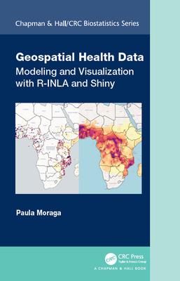
The book features fully reproducible examples of several disease and environmental applications using real-world data such as malaria in The Gambia, cancer in Scotland and USA, and air pollution in Spain. Examples in the book focus on health applications, but the approaches covered are also applicable to other fields that use georeferenced data including epidemiology, ecology, demography or criminology. The book provides clear descriptions of the R code for data importing, manipulation, modelling, and visualization, as well as the interpretation of the results. This ensures contents are fully reproducible and accessible for students, researchers and practitioners.
Get Geospatial Health Data by at the best price and quality guranteed only at Werezi Africa largest book ecommerce store. The book was published by Taylor & Francis Ltd and it has pages. Enjoy Shopping Best Offers & Deals on books Online from Werezi - Receive at your doorstep - Fast Delivery - Secure mode of Payment