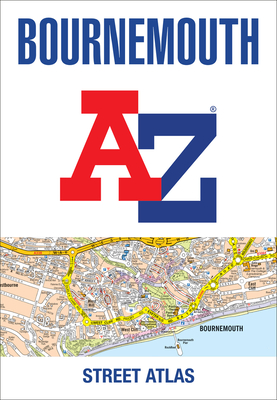
Navigate your way around Bournemouth with this detailed and easy-to-use A-Z Street Atlas. Printed in full-colour, paperback format, this atlas contains 63 pages of continuous street mapping.
Navigate your way around Bournemouth with this detailed and easy-to-use A-Z Street Atlas.Printed in full-colour, paperback format, this atlas contains 63 pages of continuous street mapping.Covered extends to include: Poole, Christchurch, Blashford, Ringwood, Wimborne Minster, Ferndown, Bournemouth Airport, Barton on Sea, Milford on Sea, Lymington.In addition, there are seperate coverages of Verwood, Lyndhurst and Brockenhurst, an inset of Three Legged Cross and large scale town centre maps of Bournemouth and Poole.Postcode districts, one-way streets, park and ride sites and the New Forest National Park boundary are also featured on the mapping.The index section lists streets, selected flats, walkways and places of interest, place, area and station names, hospitals and hospices covered by this atlas.
Get Bournemouth A-Z Street Atlas by at the best price and quality guranteed only at Werezi Africa largest book ecommerce store. The book was published by HarperCollins Publishers and it has pages. Enjoy Shopping Best Offers & Deals on books Online from Werezi - Receive at your doorstep - Fast Delivery - Secure mode of Payment